Description
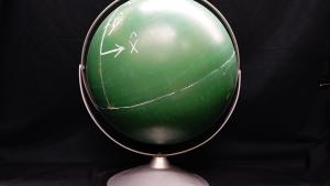
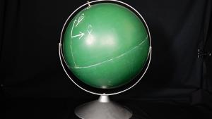
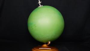
A plain globe is used to draw and visualize polar and spherical coordinate systems directly on its surface. By sketching lines of latitude, longitude, and other coordinate grids, students can better understand the concepts of polar coordinates, great circles, and spherical trigonometry.
PIRA DCS Number
1A30.40


